- Dronology
- Posts
- Megadrones is revolutionizing Powerline Inspections Using a Drone
Megadrones is revolutionizing Powerline Inspections Using a Drone
Ultimate Guide to Using a Drone for Powerline Inspection
Mega Drones
February 11, 2024
Ditch the Danger, Embrace the Drone: Revolutionizing Powerline Inspections with Megadrones Pvt Ltd
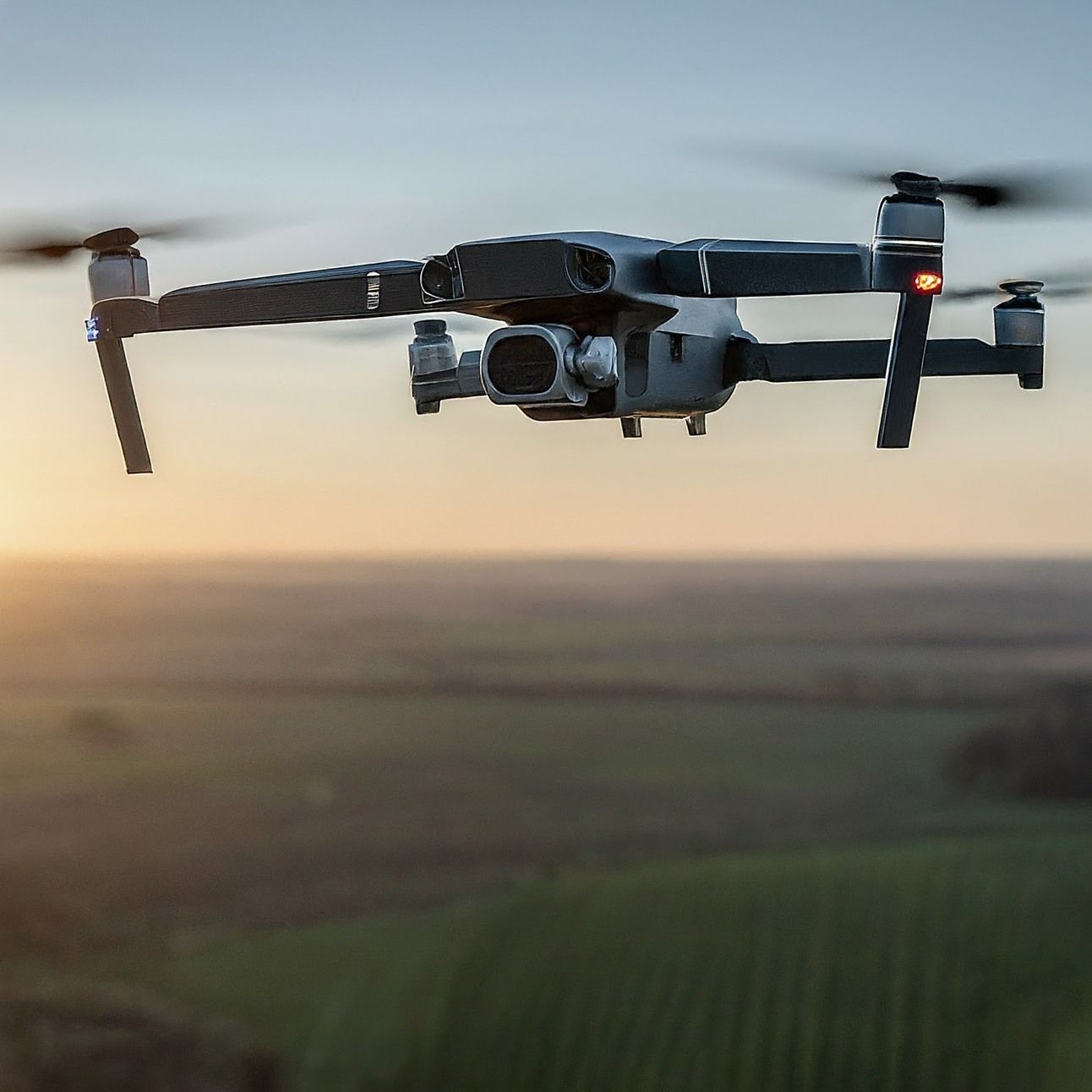
Drone with Dual Payload
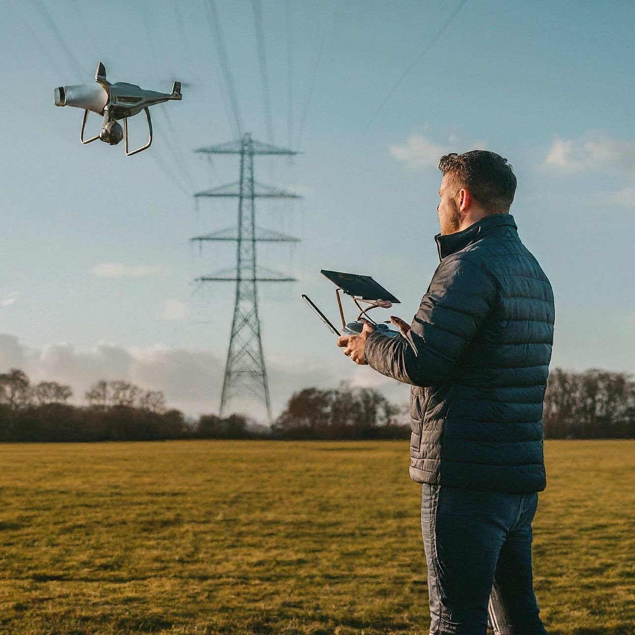
Inspecting powerlines has traditionally been a risky business. Helicopter-based visual inspections, while common, expose personnel and equipment to unnecessary hazards. Additionally, these methods are time-consuming and inefficient.
Fortunately, a transformative solution is emerging: drone technology. Commercial powerline inspection drones, or Unmanned Aerial Vehicles (UAVs), are revolutionising how utility companies approach this critical task. At the forefront of this revolution is Megadrones Pvt Ltd, a company leading the charge in India.
Megadrones: Soaring Across Indian Skies
Megadrones Pvt Ltd is a company dedicated to leveraging the power of drones for various industrial applications, with a particular focus on powerline inspections. Their team of experienced pilots and engineers operates a fleet of sophisticated drones equipped with cutting-edge technologies, enabling them to serve clients across diverse states like Punjab, Bhopal, Indore, Jabalpur, and beyond.

Power of Drones
Precision Takes Flight: Megadrones' Methodology
Megadrones' approach to powerline inspections is meticulous and data-driven. Here's a glimpse into their methodology:
Pre-flight planning: Every inspection begins with thorough planning, considering weather conditions, flight path optimisation, and safety protocols.
Advanced drone technology: Megadrones utilize high-performance drones with LiDAR, thermal imaging, and high-resolution cameras, capturing comprehensive data from every angle.
AI-powered analysis: Captured data is meticulously analysed using AI algorithms, enabling inspectors to identify even the subtlest anomalies and potential issues.
Detailed reporting: Clients receive comprehensive reports with actionable insights, prioritised repair recommendations, and 3D visualisations for clear understanding.
Efficiency at New Heights: The Megadrones Advantage
By embracing drone technology, Megadrones deliver significant efficiency gains for their clients:
Reduced inspection time: Unlike traditional methods, drones can cover vast areas significantly faster, minimising downtime and disruptions.
Enhanced safety: Eliminating the need for personnel to climb power lines physically drastically reduces the risk of accidents and injuries.
Cost-effective: Streamlined inspections and early detection of issues translate to reduced maintenance costs and improved grid reliability.
Data-driven insights: Actionable data empowers clients to make informed infrastructure maintenance and investment decisions.
Ready to Soar with Megadrones?
Megadrones Pvt Ltd is more than just a drone service provider; they are a partner in progress for the Indian power sector. With their commitment to innovation, safety, and efficiency, Megadrones is helping utilities across the country ensure the safety and reliability of their infrastructure while charting a course for a brighter, more sustainable future.
Inspecting powerlines has traditionally been a risky business. Helicopter-based visual inspections, while common, expose personnel and equipment to unnecessary hazards. Additionally, these methods are time-consuming and inefficient.
Fortunately, a transformative solution is emerging: drone technology. Commercial powerline inspection drones, or Unmanned Aerial Vehicles (UAVs), are revolutionising how utility companies approach this critical task.

Megadrones Team at Bhopal Site
About Us
Megadrones is a certified leading survey & inspection company in India. Megadrones specialises in UAV/DGPS surveys, including processing geospatial data like UAV, aerial and satellite digital images to produce photogrammetry, LiDAR and GIS to support data processing services in India. We have highly specialised professionals who have been experienced in the field for the last 5+ years to provide various Geospatial services to our clients.
Our gamut of expertise encompasses of the following sectors:
Outdoor Service
1. Total Station/DGPS Survey
2. UAV/DRONE Survey/Mapping (Quad-copter & Fixed Wing)
3. Customised Multirotor and Fixed Wing Drones
4. DGCA Certified RPAS Instructor for Drone Training Courses
Indoor Service
1. UAV Image Data Processing.
2. LiDAR / MOBILE LiDAR Remote sensing.
3. Geographic Information System (GIS).
4. Satellite Image Processing.
5. CAD conversions & applications
Follow us on LinkedIn - Megadrones.
Follow us on Instagram - mega_drones
Subscribe to our YouTube channel - megadroneshorts